Getting around Cupertino, CA: Commutes, Transit, and Driving
Cupertino, CA has no rail station, so your address determines your commute. Learn about freeways, VTA buses, bike routes, and what to check before you tour.
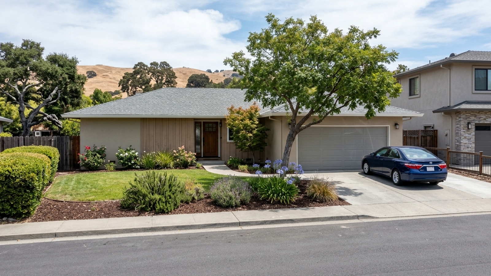
Cupertino has no rail station of its own. It runs on a car-built grid of freeways and boulevards, and which of those you can use depends on the street your home sits on. Proximity to a Highway 280 on-ramp, a VTA bus corridor, or a designated bike route isn't a neighborhood-level question. It's an address-level one.
Single-family homes here recently sold at 106.3% of their list price in a median of 12 days, even after a year-over-year price drop. The market doesn't give you time to discover a commute problem after your offer is accepted. Get your location rules straight before you start touring.
Key Takeaway
Plan on driving. Cupertino has no rail station of its own, so most trips run on Highway 280, Highway 85, and the Stevens Creek and De Anza boulevards. If you want to depend less on a car, you should shortlist homes within an easy walk of a VTA bus corridor or a short ride to the nearest Caltrain connection. Set that rule before you tour, because single-family homes here recently sold in a median of 12 days.
Who This Guide Is For
You're considering a home in Cupertino and want to know how commutes, errands, and airport runs will work from different addresses before you narrow your search.
How People Get Around Cupertino
Cupertino is built for cars. It has no rail station within city limits, and the layout centers on major freeways and wide arterials, so driving is the default for most residents. The U.S. Census Bureau's 2020-2024 estimates put the mean travel time to work for Cupertino city workers age 16 and over at 23.6 minutes, which reflects just how much those road networks carry.
The rest of this page is organized by the transportation choice you're making: driving, riding transit, or walking and biking. Each one points to different addresses and property types, so your preferred way to travel should shape where you search.
Questions to Ask Before Choosing a Home
Will anyone commute to San Francisco or the Peninsula several days a week? If so, read the Highway 280 section and the Caltrain and light rail section, then check each listing's distance to the nearest station.
Do you want to run daily errands without a car? Read the VTA buses, on-demand shuttle, and biking and walking sections, and make a walk to a bus stop and a grocery store an address-level check.
Are you choosing between a single-family home and a townhome or condo? Read the section comparing these property types, where garage and guest-parking rules matter as much as the purchase price.
Will someone in the household need door-to-door rides? Go to the senior and accessible transportation section before shortlisting areas.
Driving in Cupertino
Most trips in and out of the city rely on two major freeways and two primary boulevards. Which one matters to you depends entirely on where your job is and where you run your errands.
Checking which on-ramp or arterial sits closest to a listing tells you whether your daily drive gains or loses real time. The right one can cut minutes; the wrong one can add them.
Highway 280
Highway 280 is the primary route toward the Peninsula and San Francisco to the north, and toward San Jose to the east. Caltrans identifies the I-280 and State Route 85 system interchange as being located in Cupertino. Within city limits, Highway 280 also has local interchanges at Wolfe Road and Foothill Expressway. For a San Francisco commuter, closeness to one of those on-ramps matters more than any neighborhood label.
Closeness to an on-ramp doesn't guarantee a quick trip. Peak-hour backups are where commute time is won or lost, so drive the route from a listing at the hour you'd leave before you make an offer.
Highway 85
Highway 85 runs toward Mountain View to the north and Los Gatos and south San Jose to the south, connecting with Highway 280 at the system interchange in Cupertino. It's the freeway that matters for anyone working along that north-south arc.
Its usefulness depends entirely on which direction your job is. If you're heading toward San Francisco, Highway 85 access does little for you, so don't pay for proximity you won't use.
Stevens Creek Boulevard and De Anza Boulevard
These two arterials carry local trips to shopping centers, the Apple Park area, and De Anza College. Most daily errands in the city involve driving on one of them. They're also the main corridors for VTA buses, so transit riders and drivers alike orient toward them.
A home right on or beside an arterial gets easy access but also traffic noise and harder left turns out of the driveway. Visit the property at rush hour and listen from the backyard before you decide the tradeoff is worth it.
Public Transit in Cupertino
Public transportation here works for specific trips along specific corridors. The city has no central transit hub, so the distance from a home to one of those corridors is the defining factor for any transit rider.
If you plan to use buses or shuttles regularly, you need to verify the exact distance from the front door to the nearest stop. The broader city map won't tell you whether a specific block is well-served.
VTA Buses
According to VTA's official system map, Cupertino is served by VTA local and Rapid bus routes. These routes primarily run along the major commercial corridors. The agency also notes a Silicon Valley Hopper mobile app-based on-demand transit service operating between select Cupertino and Santa Clara stops and transit hubs.
Service is built around the main corridors, so a home several blocks into a residential area can be a long walk from any stop. Check VTA's current timetable for off-peak and weekend frequency on the route nearest a listing, not just the route map.
Cupertino's On-Demand Shuttle
VTA's current system map describes a Via Cupertino On-Demand Shuttle providing citywide point-to-point travel between select stops, operating alongside the Silicon Valley Hopper service. Riders can book trips through the city's website or by phone. It's the closest thing to door-to-door transit inside the city.
City shuttle programs change hours, zones, and sometimes disappear entirely. Confirm on the city website that the current service area covers both the address you're considering and the places you'd go before you count on it.
Caltrain and Light Rail Connections
Cupertino has no Caltrain or light rail station within city limits. Every train trip starts with a drive, a bus ride, or a bike ride to a neighboring city, so you'll need to travel to stations in nearby towns to access the broader Bay Area rail network.
That first leg is the weak link. If station parking fills early or the connecting bus is infrequent, the whole commute falls apart. Visit the nearest Caltrain station on a weekday morning to see when parking fills before you build your routine around it.
Biking and Walking in Cupertino
Walking and biking are viable in specific pockets of the city. They're not universal. The city is actively working on expanding its non-motorized network, but current conditions vary a lot by block.
If running errands without a car matters to you, you have to verify the infrastructure around your specific target address. A home's walkability depends entirely on what's immediately around it.
Bike Routes
As of the Existing Conditions memo for the ongoing Cupertino Active Transportation Plan, the city has an existing bikeway network of 50.5 miles. The plan outlines intentions to build 50.7 more miles of bikeways, building on previous pedestrian and bicycle plans to improve safety and connectivity along the main corridors.
A plan is not pavement. Some routes on the city's map may be proposed rather than built, so ride the actual bike route from a listing to where you'd go, rather than relying on the planned network map.
Walking to Shops and Parks
Walking works well around the retail clusters along the main boulevards and near parks. Most residential blocks, though, are built for driving, with long distances between homes and commercial centers.
Whether you can walk to errands depends on the block, not the city. A listing description won't tell you. Walk from the front door to the nearest grocery store and bus stop yourself to see if the distance is something you'd live with.
Getting to Cupertino from the Airports
Cupertino sits between two major international airports, each with different ground transportation options. Your choice of airport will likely come down to flight availability, but the drive home is worth weighing when you're evaluating addresses.
From San Jose Mineta International Airport (SJC)
According to the city's official transportation page, Mineta San José International Airport is about 10 miles southeast of Cupertino. Ground transportation connections are available via Amtrak, BART, and Caltrain, with VTA buses and light rail providing local interconnections through the 511 SF Bay system.
Transit from SJC to Cupertino likely involves transfers. With luggage, most travelers end up using a rideshare or getting a ride from someone, so budget for that.
From San Francisco International Airport (SFO)
San Francisco International Airport is about 30 miles north of the city. Regional ground transportation options between SFO and the South Bay include Amtrak, BART, and Caltrain, with interconnections to VTA buses and light rail. Highway 280 is the primary driving route for this trip.
SFO may have more flights, but the trip south is longer and the transit option ends at a station that still isn't in Cupertino. Factor in the last leg before you count on any fare savings.
Senior and Accessible Transportation in Cupertino
Accessible transportation options exist for residents who can't drive or use standard fixed-route transit. These services are managed by different agencies and often require advance planning, so if someone in your household needs them, confirm coverage before zeroing in on a neighborhood.
VTA ACCESS Paratransit
VTA ACCESS Paratransit is a shared-ride, door-to-door service for individuals whose disabilities prevent them from independently using fixed-route buses or light rail. The service operates within the same hours as standard transit, with a standard coverage area three-quarters of a mile around fixed routes and a premium area extending one mile beyond that.
Paratransit ties its service area to fixed bus routes and requires advance booking. Confirm that a specific address falls inside the service area before relying on it.
Senior Center Ride Programs
The Cupertino Senior Center lists several transportation options for older adults. These include the Silicon Valley Hopper on-demand service, which offers rides around the city at a senior fare of $1.75 per trip. Other options include R.Y.D.E., a curb-to-curb service for adults 65 and older run by West Valley Community Services, and a group Travel Program organized by the center.
Programs like these often have membership requirements, set trip types, or limited seats. Call the Cupertino Senior Center directly to confirm current ride program availability and eligibility.
Rides to Medical Appointments
Non-emergency medical rides are typically arranged through a health plan or a county program, not the city. You'll need to coordinate directly with your provider for trips to appointments outside the standard shuttle zones. Coverage varies by health plan, so ask yours whether non-emergency medical rides are covered and how far ahead you need to book them.
How Transportation Should Shape Your Cupertino Home Search
Because the city has no central transit hub, the street you live on dictates how easily you can get to work or run errands. Your transportation needs should act as a hard filter on your property search, not an afterthought.
Single-Family Homes vs. Townhomes and Condos
Attached homes often sit closer to the main boulevards and bus corridors. In a recent 90-day window, there were 18 non-single-family sales against 29 non-single-family listings, compared to 58 single-family sales. That small sample of 18 attached-home sales suggests attached homes offered slightly more choice relative to how fast they sold.
Attached homes also frequently come with HOA limits on parking: restricted guest parking, a single garage space, or rules on EV chargers. Ask the HOA for current parking allocations, guest-parking rules, and EV charger policy before you write an offer.
What the Market Pace Means for Your Search
Single-family prices fell 11.1% year over year, which lowers the entry point, but that hasn't translated into bargaining power. You won't negotiate a discount to compensate for a commute that doesn't work, so the location has to be right on the first offer.
A falling median can tempt you to wait for a better deal near the freeway or station you want. Inventory is thin, though, with only 62 total homes for sale recently, so the right location may simply not be listed when you're ready.
What to Check at Each Address
Test the location yourself before committing. Drive the commute from a listing at your actual departure time on a weekday before making an offer. Walk to the nearest bus stop and grocery store, and measure the distance to the nearest Caltrain station. Confirm the city shuttle's zone covers the address, and listen for arterial noise from the backyard.
None of this appears in a listing description, and with homes moving fast you may have only one visit. Bring the checklist to the first showing rather than saving it for a second look.
At a Glance
- Median sale price, all homes: $2,848,643, down 6.9% year over year (90 days ending 2026-09-30, 76 sales)
- Median sale price, single-family homes: $3,018,797, down 11.1% year over year (90 days ending 2026-09-30, 58 sales)
- Median days on market: 12 for single-family homes, 13 for all homes (90 days ending 2026-09-30)
- Sale-to-list ratio: 106.3% for single-family homes, 105.4% for all homes (90 days ending 2026-09-30)
- Share sold above list price: 54.4% of single-family homes, 54.7% of all homes (90 days ending 2026-09-30)
- Months of supply: 1.8 for single-family homes, 2.5 for all homes (90 days ending 2026-09-30)
- Homes for sale: 33 single-family, 62 total (90 days ending 2026-09-30)
- Median price per square foot: $1,630 for single-family homes, $1,597 for all homes (90 days ending 2026-09-30)
Getting Around Cupertino FAQs
Where Is Cupertino, and How Far Is It from San Jose and San Francisco?
Cupertino is located in Santa Clara County, west of San Jose. The driving distance to downtown San Jose is approximately 9 miles, which takes about 12 minutes. The driving distance to San Francisco is roughly 46 miles via Interstate 280 and US-101, which takes about 48 minutes.
Does Cupertino Have a Downtown?
The city doesn't have a traditional downtown center. Instead, the central district is planned along the Stevens Creek Boulevard commercial corridor under the Heart of the City Specific Plan. This includes mixed-use destinations like the Main Street Cupertino development at the South Vallco Park Gateway.
How Much Does It Cost to Ride the Bus or Shuttle in Cupertino?
Fares vary depending on the service and rider category. Check the VTA website for current adult fares, day pass rates, and Clipper card rules. For the city's on-demand shuttle, confirm current pricing directly through the city's transit portal.
How Long Is the Average Commute from Cupertino?
The mean travel time to work for city workers age 16 and over is 23.6 minutes, based on the U.S. Census Bureau's 2020-2024 American Community Survey estimates. Because traffic changes travel times, you should time your own route during peak hours to get an accurate picture.
What Are the Street Parking Rules in Cupertino?
Street parking regulations, including overnight limits and permit zones, are governed by the municipal code. Check the city's current parking ordinances for specific street rules. If you're considering a townhome or condo, ask the HOA about guest parking policies.
Who Qualifies for VTA ACCESS Paratransit in Cupertino?
Eligibility is based on functional ability rather than age or an inability to drive. Applicants must have a disability that prevents them from independently using fixed-route buses or light rail, and they must complete a Data Card application and a phone interview. Approved riders pay $4 for standard trips and $16 for premium trips.
Sources
- Redfin: Data Center
- U.S. Census Bureau: QuickFacts
- Caltrans: Route 85 Restriction
- VTA: System Map
- City of Cupertino: Active Transportation Plan Memo
- City of Cupertino: Getting Around
- VTA: ACCESS Paratransit FAQ
- City of Cupertino: Resources for Seniors
- City of Cupertino: Heart of the City Specific Plan
- Trippy: Distance from Cupertino to San Francisco